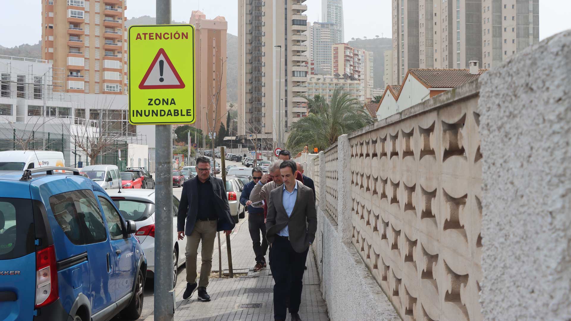
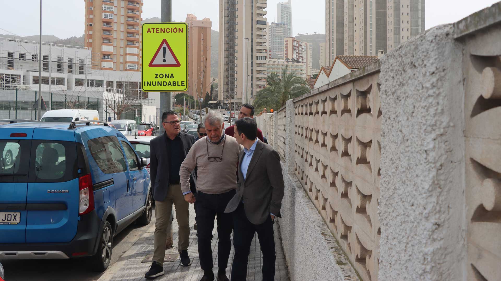
Benidorm marks the 21 critical points identified in the Municipal Flood Risk Action Plan

González de Zárate indicates that the objective is "the protection of people's safety and the prevention of accidents"
Benidorm City Council, through the Department of Water Cycle, has marked the 21 critical flood zones in the municipality. This is an ongoing action that is part of the celebration of World Water Day, which takes place this coming Saturday, March 22nd.
Benidorm covers an area of 141.92 square kilometres, of which 19.11 square kilometres are flood-prone areas. Thus, the Benidorm Municipal Flood Risk Action Plan identifies these 21 critical zones, which correspond to the same number of critical zones identified on the roads. That is sections that are likely to be affected by water from torrential rains because they have been affected on previous occasions, because they are depressed sections, etc. Intersections with natural channels on certain bridges and culvert crossings have also been marked.
The City Council has implemented the marking of these critical points by installing fixed signs. The primary objective, according to Councilor José Ramón González de Zárate, is "to protect people's safety by warning of the potential risk of flooding," but there are also other objectives, such as "preventing accidents and loss of life during flood events that may occur."
The signs that have been installed comply with safety and civil protection regulations and help facilitate orderly evacuation in the event of an emergency. González de Zárate also clarified that the installation "informs residents and visitors about risk areas, in addition to assisting in urban planning and emergency management."
In addition to all the aforementioned aspects, the purpose according to the Councilor for Water Cycle added, is "to reduce material damage by warning of dangerous areas" and, fundamentally, "to raise public awareness about natural risks during episodes of heavy rainfall."